The Product Range
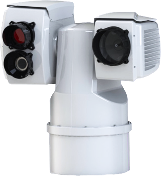
The SECurus System
Long range, high sensitivity multi mission electro
optical sensors
Sensors:
- Cooled infrared camera sensor
- High definition daylight camera
- 300W Xenon Searchlight
Range:
- Face in the water : 3 km
- Canoe 3m x 1 m : 6 km
- Ship 60m x 30m : 18 km
Main features:
- All sensors stabilized in 6 degrees of freedom
- Rugged sensor system, serviced on site, low life time cost
- Powerful features within oil spill management, surveillance and security, search and rescue
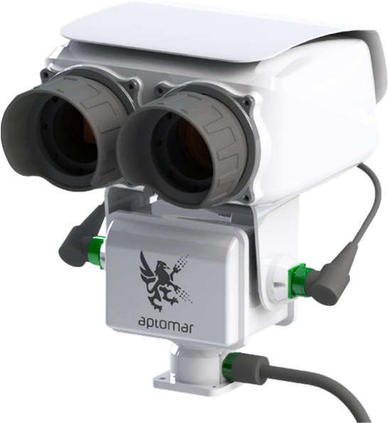
FLIR Infrared Camera System
Maritime handheld and fixed mount camera
systems
A powerful electronic chart system (ECS) for multi mission operations
- Mark, label and store areas and positions in the map
- Create weather and drift adapted search patterns, retrieve equipment and people easier and faster
- Detect, track and document all incoming and surrounding traffic
Integration with other sensors
- Radar OSD systems
- AIS and ARPA integration
- ROV, Aerostats, satellite imagery and GIS
Information sharing, collaboration and fleet tracking
- Collaborate and share data between vessels, and between vessels and land
- Record video, take screenshots and still images
- Send pictures and videos on email
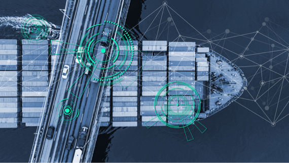
SEACOP SOFTWARE
for monitoring, detection and surveillance operations,
with one centralised operator, managing multiple operations covering multiple locations.
Exploration and production
- Seismic operations
- Drilling campaigns
- Fields in production
Navy and Coast Guard
- Surveillance and security
- Search and rescue
- Environmental monitoring
Harbours, terminals and coast lines
- Vessel traffic monitoring
- Environmental monitoring and polluter identification
- Perimiter and waterway security